EQuIS Geotech manages a variety of geotechnical data types including, but not limited to: facility and location, boring and drilling, insitu characterization, well data, geological descriptions, and lab testing.

In addition to storing these data types, EQuIS accommodates the uniqueness of geotechnical data in a mature data model with configurable workflows. The Geotech Schema relates technical data (e.g., geotechnical field tests, lab results, boring observations, etc.) back to associated boring locations and project areas.
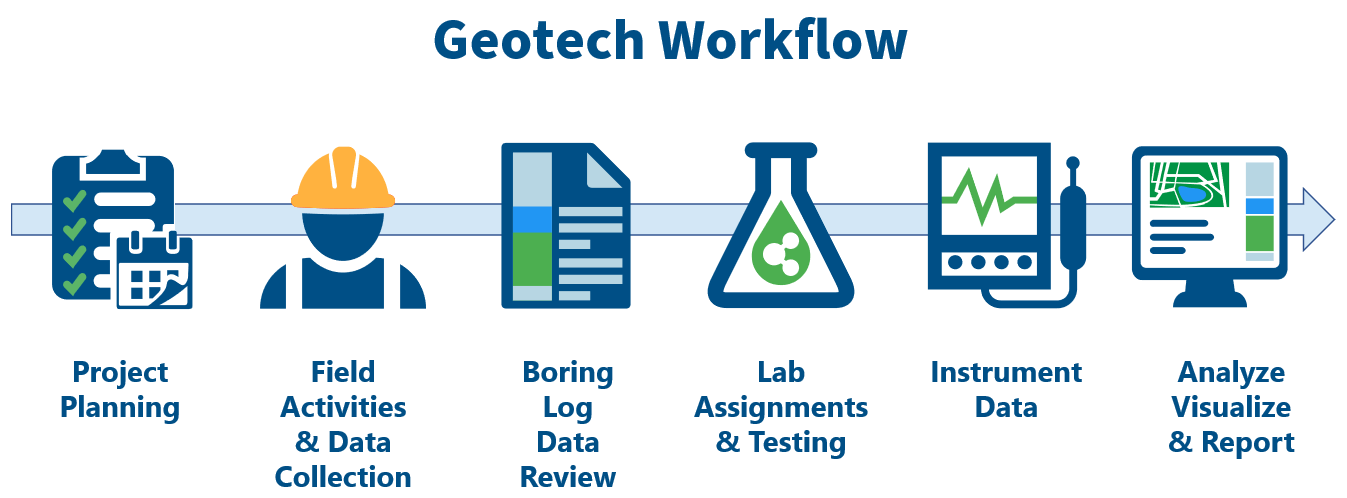
EQuIS Geotech extends the EQuIS software suite to support a complete geotechnical workflow.
EQuIS Geotech is licensed separately and also requires licenses for Enterprise Premium, Professional PremierG (or DG), Collect, and EnviroInsite. EQuIS Geotech includes:
•Geotech Schema – Provides a basic structure to store and organize geotechnical data. EQuIS Geotech uses database functions to facilitate reporting and to generate graphics using EnviroInsite templates (e.g., boring logs, subsurface profile).
•Geotechnical Formats – EQuIS geotechnical formats designed to upload geotechnical data to the appropriate database tables, geotechnical reference values, and geotechnical laboratory fees.
•Geotechnical Dashboards – Standard out-of-the-box Enterprise dashboards mirroring typical geotechnical workflows.
•Geotechnical Reports – Numerous standard reports to facilitate project understanding and decision making, assist with project management, and share information with various data providers and/or stakeholders.
•EQuIS Collect – Collect geotechnical templates provide the basis for web data entry of field data and geotechnical laboratory assignments and results. Geotechnical data can all be acquired in the field using the geotechnical templates on the Mobile app.
•EQuIS EnvironInsite – Supports generation of logs and subsurface profiles based on design template files. EnviroInsite template files are provided and can be modified to meet user needs.
•EQuIS Link – Data mapping tool that can be used to easily migrate existing or legacy geotechnical data (gINT, etc.) into EQuIS. A variety of example Link Mapping Project Template files (.link) are provided with EQuIS Geotech to assist users with uploading instrumentation data and project lab fee information. The AGS4_Geotechnical_v2.link Mapping Project Template file AGS Version 4.0.4 format data to the EQuIS Geotechnical_v2 format (Geotechnical_v2.zip) for import to EQuIS.
For EQuIS Online (EOL) clients, an EQuIS Geotech "seed" database is available. This database is completely configured and contains the EQuIS Geotech Demo Project (facility). Contact your EarthSoft Sales representative or Account Manager to use this option.
To install EQuIS Geotech on an existing EQuIS database or to setup a new database without using the "seed" database, see the Installation and Configuration articles.