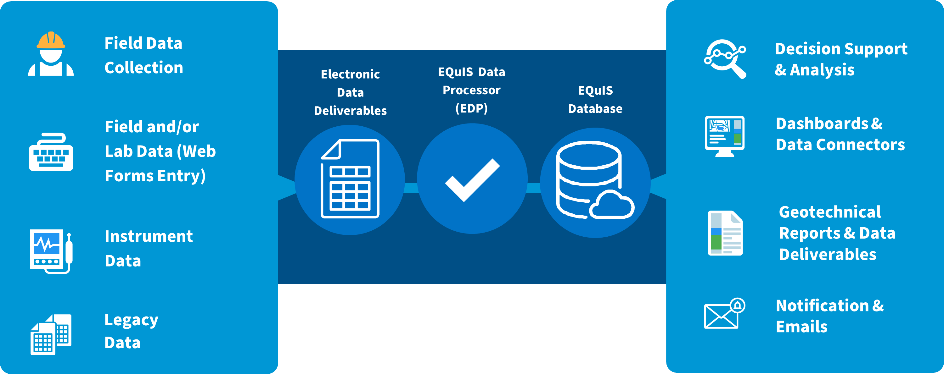
EQuIS Geotech is an advanced geotechnical data management and decision support system. EQuIS Geotech extends the EQuIS software suite and manages geotechnical and environmental data in a single enterprise solution. EQuIS Geotech provides web forms for data entry, customizable reporting templates, and geotechnical-specific workflow components. Numerous native EQuIS data operations are integrated, including migration capabilities and visualization tools. EQuIS Geotech improves data quality and streamlines project workflows for large-scale geotechnical data management.
EQuIS Geotech is licensed separately and also requires licenses for Enterprise Premium, Professional PremierG (or DG), Collect, and EnviroInsite. The EQuIS REST API license is optional. Licensing includes a separate Schema, format files, numerous standard reports and templates, widgets, and configured dashboards. Please contact sales@earthsoft.com for further information.
A part of the solution is EQuIS Link, a powerful data transformation tool that can easily migrate existing geotechnical data sources (e.g., gINT and AGS) with different data structures to EQuIS. EQuIS Link mapping project templates can also be used as "virtual" formats to upload data to EQuIS via the Enterprise EDP EDD Upload widget. EQuIS Geotech has a variety of Link mapping project template files (.link), which are setup as virtual formats to facilitate uploading instrumentation data and project lab fee information.
Once geotechnical data are in EQuIS, users can easily generate boring logs and other graphics from EQuIS Enterprise, EQuIS EnviroInsite and ArcEQuIS. EQuIS Geotech in conjunction with EQuIS Collect (field data collection app) provides a complete geotechnical workflow allowing EQuIS clients to view logs in the field and the office as data are collected.
EQuIS Geotech supersedes the former Geotechnical Module. Users of the Geotechnical Module can access documentation via the build-specific online help corresponding to their build of EQuIS (see the Online Documentation dashboard on the EarthSoft Community Center). An upgrade is needed to use EQuIS Geotech. Please contact sales@earthsoft.com for further information.