EQuIS Link is a Professional EDP feature that can migrate data from numerous geotechnical files with different data structures to EQuIS using the Geotechnical_v2 format or other standard EQuIS formats. EQuIS Geotech users will need to request an EQuIS Link license to have access to the Link ribbon in Professional EDP.
EQuIS Link is a powerful data mapping tool that supports EQuIS Geotech and can easily migrate existing geotechnical data to EQuIS. EQuIS Link transforms data from a wide variety of input sources to standard EQuIS electronic data deliverables (EDDs). Supported data source types are:
•Microsoft Excel
•Microsoft Access
•Comma Delimited Text (CSV)
•Tab Delimited Text (TXT)
•Universal Data Link (UDL)
•gINT
•Geotech AB CPT files (CPT, DPT)
•GeoTac UU/UC files (TRX)
•GeoTac Consolidation Sigma (CTF)
•Extensometer Data (DAT)
•eQuote (XML)
•Collect templates (XML)
Since DIGGS is an XML format, the generic XML data source can be used to load DIGGS files. Additionally, users can create custom sources.
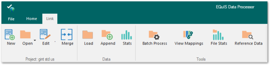
Three general types of actions are performed with EQuIS Link:
•Create Mapping Project Templates
•Create EDDs and Upload to EQuIS
•View Data and File Statistics
Users can create project templates to map data from a variety of data sources to an EQuIS format (e.g., Geotechnical_v2 format). The formula building and parser functionality eliminates the need to write code and allows data to be filtered based on a set of rules and conditions prior to loading into EQuIS. More than 100 functions are available for formula building.
Mapping project templates can be used repeatedly to load similar source data files to the appropriate EQuIS format sections and fields. Source data files can be processed individually or in batches. EDP can then be used to create EDDs for upload to an EQuIS database via the EDP commit process. The AGS4_Geotechnical_v2.link Mapping Project Template file provided with EQuIS Geotech maps AGS Version 4.0.4 format data to the EQuIS Geotechnical_v2 format (Geotechnical_v2.zip) for import to EQuIS.
Mapping project templates can also be used as a "virtual" format to upload EDDs to EQuIS via the Enterprise EDP EDD Upload widget. EQuIS Geotech provides a variety of example Link Mapping Project Template files (.link), which are setup as virtual formats to facilitate uploading instrumentation data and project lab fee information.
Statistical tools can generate the counts of fields and values, such as, minimum, maximum, sum, average, and standard deviation of both source data files and created EDDs.
See the EQuIS Link chapter in the EDP documentation for detailed information on using EQuIS Link.