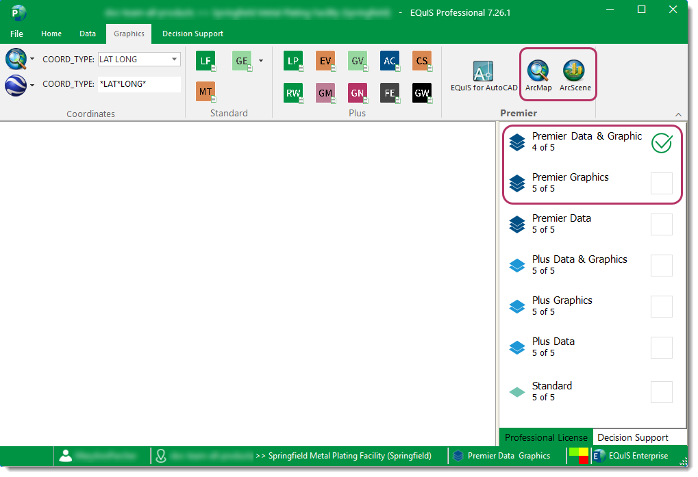
EQuIS for ArcGIS is an interface between EQuIS Professional and ArcMap. To access EQuIS for ArcGIS options in the Premier section of the Graphics ribbon of EQuIS Professional, select either the Premier Data & Graphics or Premier Graphics license level.
With the EQuIS for ArcGIS functionality, users can:
•Use EZView to run any EQuIS report and open the results in ArcGIS
•Export shapefiles directly from EQuIS Professional and into ArcGIS
Troubleshooting
Users without the Microsoft System CLR Types for SQL Server 2008 (no longer included in EQuIS installers) are unable to plot the locations layer when connecting to an EQuIS facility in ArcMap. That layer is drawn by default when connecting to a facility. Users receive the following error message:
There was a problem creating the sample locations layer. This typically is due to problems opening the vw_location View with ArcObjects' OleDb connection. Please confirm your EQuIS connection account has the proper rights and you have properly connected to your EQuIS database and authenticated properly with Windows if you are not using SQL authentication. If the problem persists, contact our help desk for additional support. NOTE: You should still be able to use other modules, such as EZView LayerBuilder to query your facility without having your sample locations layer created. |
To resolve this error, install the Microsoft SQL Server 2008 SQLSysClrTypes.msi file.