|
<< Click to Display Table of Contents >> Navigation: EQuIS Library > Reports > Standard Reports > Water Levels > Water Level Information |
Report Name: Water Level Information (example)
File Name: EarthSoft.Reports.Library.53582.dll
Dependencies: N/A
Software: EQuIS Professional and EQuIS Enterprise
Source: EQuIS Professional install
Language: English
Output Type: Excel1
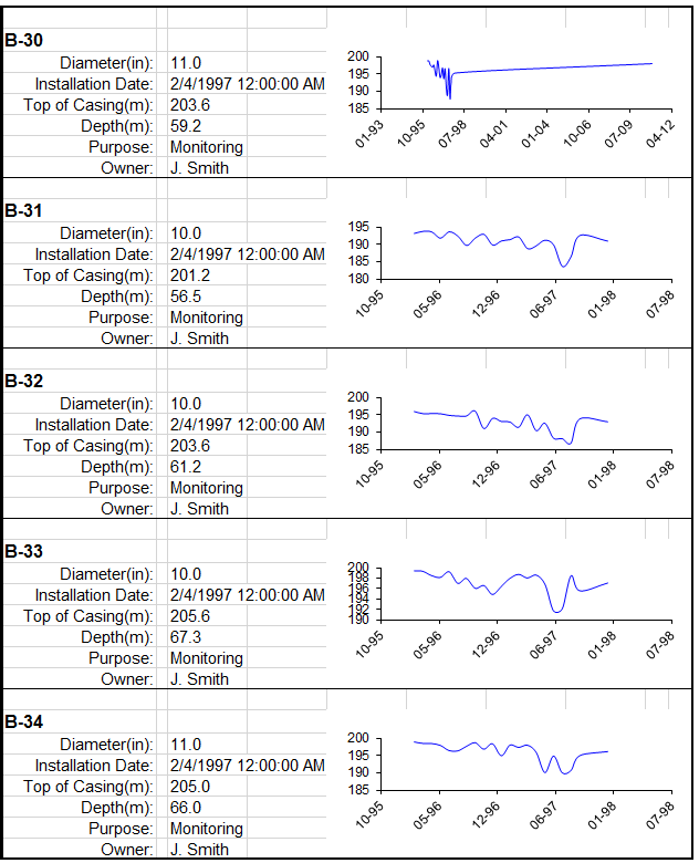
Description: The Water Level Info Report generates water level (DT_WATER_LEVEL.EXACT_ELEV) data of selected locations in the form of graphs, plus other location information such as well diameter, installation date, top of casing, depth, purpose and owner.
Installation Instructions: This report assembly is part of the EQuIS Professional installation. No additional installation steps are necessary.
Overview:
Tables: DT_WATER_LEVEL, DT_WELL, RT_ANALYTE_DETAIL, DT_LOCATION, RT_GROUP, RT_GROUP_MEMBER, VW_LOCATION, VW_WELL
Report Parameters * |
||||||||
|---|---|---|---|---|---|---|---|---|
|
||||||||
* This report includes the following hidden parameter(s) that could affect the output of the report: •Water Level (default is exact_elev)
If listed, the Additional Fields parameter may be customized as explained in How To Customize the Additional Fields Parameter.
Consult an EQuIS administrator if hidden parameters should be visible or use different default values in a published report (a report that allows saving of User Reports). Hidden parameters cannot be viewed or changed in unpublished reports outside of a report parameter file.
|
Report Output |
|---|
Excel spreadsheet |
1Excel report output requires a valid license of Microsoft Excel to view the output.
Copyright © 2026 EarthSoft, Inc. • Modified: 08 Dec 2023