|
<< Click to Display Table of Contents >> Navigation: EQuIS Library > Reports > Standard Reports by Product > Standard with Collect > Collect – Boring Log Map Report |
Report Name: Collect – Boring Log Map (example)
File Name: EarthSoft.Reports.Library.149680.dll
Dependencies: Licensed Collect Module, EarthSoft.Reports.Library.EnviroInsite.dll
Software: EQuIS Collect, EQuIS Enterprise
Source: EQuIS Collect install
Language: English
Output Type: Report Grid1 or Link to generate a PDF
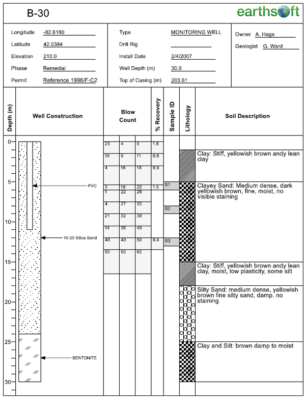
Description: The Boring Log Map report returns a georeferenced EnviroInsite boring log report.
Installation Instructions: This report requires a licensed EQuIS Collect module and the Collect Schema applied to the database. For use, this report should be published to the database. Download the EQuIS Collect xcopy zip from the community center, unblock the *.zip file, and extract the EarthSoft.Reports.Library.149680.dll file to the EQuIS Professional installation folder. For default installations, this directory is C:\Program Files\EarthSoft\EQuIS. The report will be available for selection once it has been published.
This report also requires the EarthSoft.Reports.Library.EnviroInsite.dll file assembly. See instructions in EnviroInsite Report Installation to make this report available in Enterprise and therefore to this Collect report.
Overview:
The report can then be used as a layer in Collect Map to allow the user to open PDF boring logs from plots on the map. The user selects an EnviroInsite Boring Logs user report ID and location(s) and gets a link to generate a PDF report along with other fields related to the locations selected.
Tables: DT_LOCATION and DT_WELL tables are accessed in all report executions. Other tables may also be accessed depending on the contents of the boring log template being used. These include: DT_WATER_TABLE, DT_DRILL_ACTIVITY, DT_LITHOLOGY, DT_SAMPLE, DT_SAMPLE_PARAMETER, DT_DRILL_PARAMETER, DT_DOWNHOLE_POINT_DATA, and DT_WELL_SEGMENT.
Report Parameters |
||||||||||||
|---|---|---|---|---|---|---|---|---|---|---|---|---|
|
Report Output |
||
|---|---|---|
APPROVED BEARING BORE_ID CUSTOM_FIELD_1 CUSTOM_FIELD_2 CUSTOM_FIELD_3 CUSTOM_FIELD_4 CUSTOM_FIELD_5 DATA_PROVIDER DRAWING_CHECKER DRAWING_CHECK_DATE DRAWING_EDITOR DRAWING_EDIT_DATE DRILLER DRILLING_METHOD DRILLING_SUBCONTRACTOR DEPTH_TO_BEDROCK EBATCH ELEV_UNIT ENGINEER ENGINEER_SUBCONTRACTOR |
END_DATE ESTAB_COMPANY_CODE FACILITY_CODE FACILITY_ID FACILITY_ID1 GEOLOGIST INSPECTOR INSPECT_SUBCONTRACTOR LOC_COUNTY_CODE LOG_DATE LOC_DESC LOC_DISTRICT_CODE LOC_MAJOR_BASIN LOC_MINOR_BASIN LOC_NAME LOC_PURPOSE LOG_REPORT LOC_STATE_CODE LOC_TYPE LOC_TYPE_2 MAP_CODE |
PHASE_CODE PHOTO PLUNGE REMARK_1 REMARK_2 SAMPLING_METHOD START_DATE STATUS_FLAG STREAM_CODE STREAM_MILE SUBFACILITY_CODE SURF_ELEV SYS_LOC_CODE TOTAL_DEPTH UNITS WITHIN_FACILITY_YN WELL_ID WELL_STATUS X_COORD Y_COORD |
1The Report Grid provides additional export options to Excel, Google Earth, Outlook, Shapefile, PDF, Text, Access, XML, or a printer.
Copyright © 2026 EarthSoft, Inc. • Modified: 03 Mar 2026