This feature allows the user to post the depth, elevation, or thickness of stratigraphic units on a plan view map. Click Plot> Stratigraphy from the main menu and select Post. The Post Stratigraphy Contact Level dialog box opens. Modify the properties of the plot on the Query tab, Format tab, Options tab, and EQuIS Location Groups tab as desired. Click the OK button to save changes.
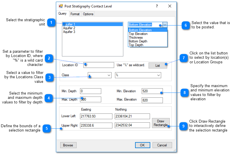
Query Tab
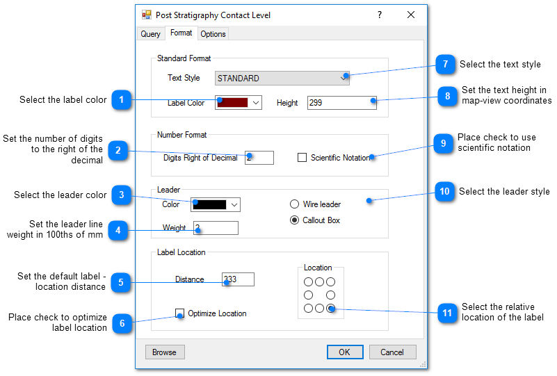
Format Tab