To add or modify a map scale, select Insert > Map Scale from the main menu and the Map Scale dialog box will appear. Choose options from the following tabs:
Select the OK button to save changes.
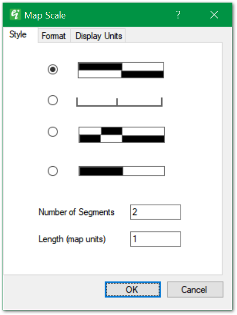
Style – Select from one of four map scale format options.
Number of Segments – Enter number of segments to be included in map scale.
Length – Enter map scale length in real-world coordinates.
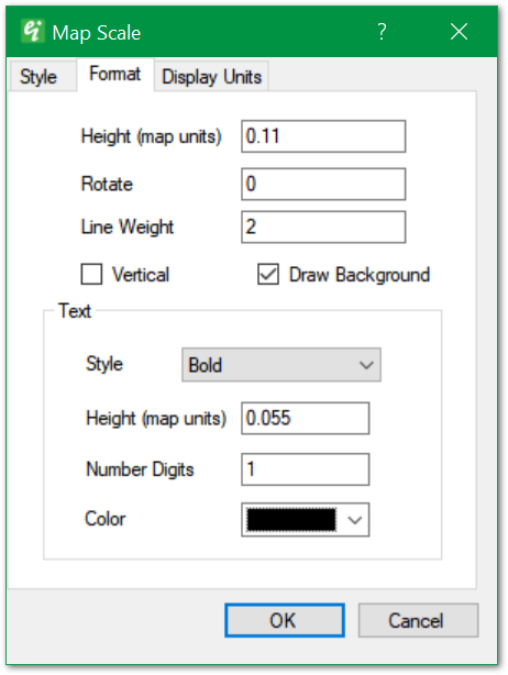
Height – Specify map scale height in real-world coordinates.
Rotate – Specify rotation (counter-clockwise in radians). For example, 1.57 rotates the scale 90 degrees counter-clockwise.
Line Weight – Enter line weight in tenths of millimeters.
Vertical – Check to draw map scale with vertical orientation (for 3D views).
Draw Background – Check to draw background.
Text Style – Select text style.
Text Height – Specify text height in real-world coordinates.
Text Number Digits – Specify the number of decimal places.
Text Color – Select text color.
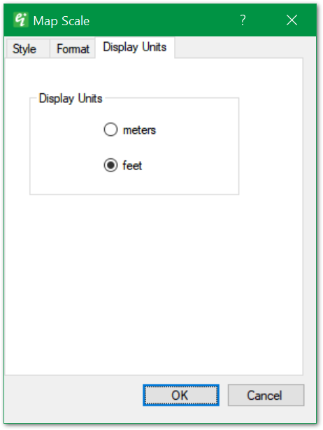
Display Units allows the user to select between "meters" or "feet".
Note: When connected to an EQuIS database, the Display Units are specified in EQuIS and therefore this option is not available. |