Some of the standard reports pull location data from the VW_LOCATION view rather than the DT_LOCATION table. For these reports to show the LOC_NAME field and coordinate data, the DT_COORDINATE table must be populated for these locations, with the COORD_TYPE_CODE = DT_FACILITY.COORD_TYPE_CODE, and the Identifier = DT_FACILITY.IDENTIFIER. Examples of such reports include:
•Analytical Results with Sample Parameter (Table) (EarthSoft.Reports.Library.23967.dll)
•Downhole Point Parameters (EarthSoft.Reports.Library.43582.dll)
•Location Parameters (Most Recent) (v54.location_parameter_recent)
•Sample Holding Time II (EarthSoft.Reports.Library.95547.dll)
•Sample Parameters (Extra Fields) (EarthSoft.Reports.Library.88671.dll)
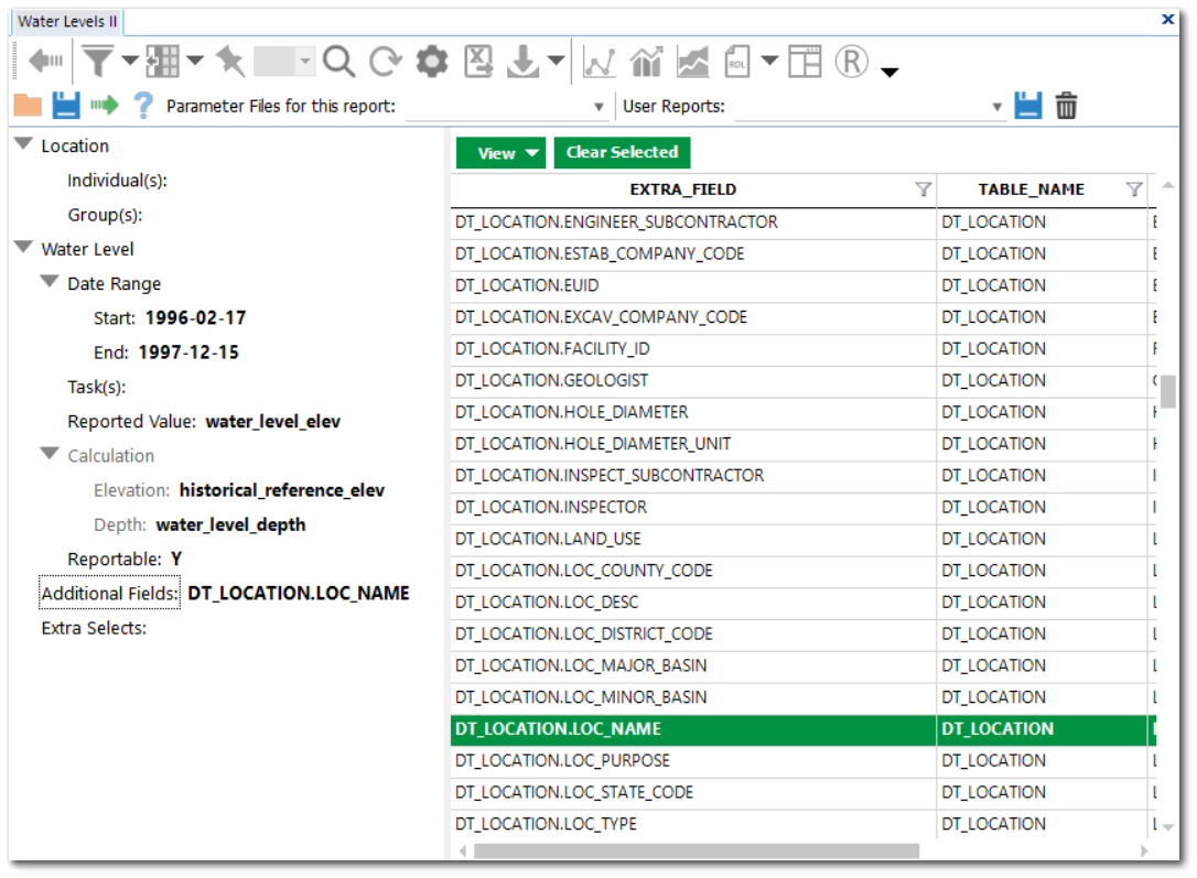
•Water Levels II (EarthSoft.Reports.Library.64102.dll, formerly Water Levels [Extra Fields])
Since there are times when locations do not have associated coordinate data, EarthSoft is working on changing this functionality for some reports so that all location information is pulled from DT_LOCATION instead. See the relevant Forum Post here.
For instances where there are locations that do not have associated coordinate data, there is a workaround for this behavior for the Water Levels II report. To have the LOC_NAME display for this report even when coordinate data are not populated as specified above, select the DT_LOCATION.LOC_NAME field as an "Additional Fields" parameter. This workaround also applies for other reports where the Additional Fields option is available and DT_LOCATION fields are included within the list of fields.