To change the properties of the Map widget, open the Widget Editor by selecting the More Options ![]() icon in the upper right corner of the widget to display the drop-down menu and then select the Edit menu option. The Map widget properties are divided into six tabs in the Widget Editor. Changes made on any tab will not be preserved until the user clicks Save on the Widget Editor header.
icon in the upper right corner of the widget to display the drop-down menu and then select the Edit menu option. The Map widget properties are divided into six tabs in the Widget Editor. Changes made on any tab will not be preserved until the user clicks Save on the Widget Editor header.
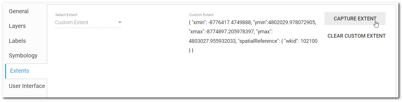
The Extents tab sets the default extent for the Map widget.
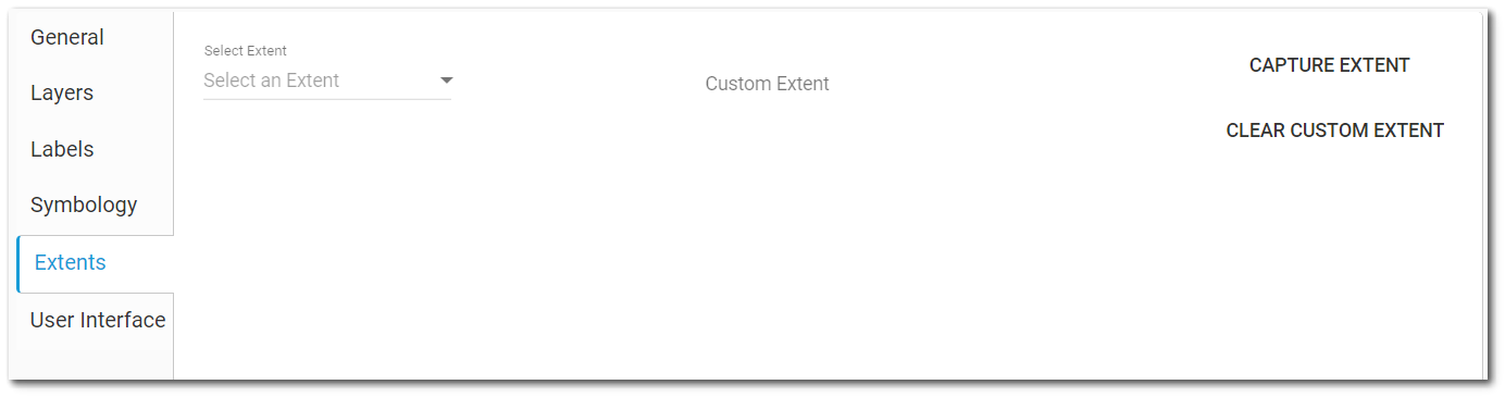
Options are available from the "Select an Extent" drop-down menu:
Application Default – Refers to the value set in the ST_CONFIG table.
Facility Layer – Refers to the defined or calculated extent of the facility configured in the General tab.
Added Map Layer – Any layers added to the Map widget are listed by Layer Name.
Custom Extent
A custom map extent can also be defined. A JSON string can be entered directly in the Custom Extent box.
Selecting the Capture Extent button will automatically save the current zoom view in the Map widget as the custom extent. Use the Clear Custom Extent button to remove the JSON string from the Custom Extent box.