Clicking Insert > ArcGIS Online Maps provides access to ArcGIS Online service's global topo maps, street maps, and aerial photos. The maps are delivered as a set of square tile images. Each tile image consists of 256 by 256 pixels. Increasing the zoom level will increase the number of tiles needed to fill the specified area, while also reducing the real-world dimensions associated with each pixel. The tile dimensions in longitudinal degrees vary as 1/2 raised to the power equal to the specified zoom level, where a zoom level of 0 contains the entire world. Increasing the zoom level will also reduce the size of labels. Thus, you'll need to reach a compromise between obtaining a high resolution map and getting labels that appear sufficiently large to be readable at the display scale. Descriptions of the available map styles are available on the ArcGIS web page at World Imagery, World Topo, and World Street.
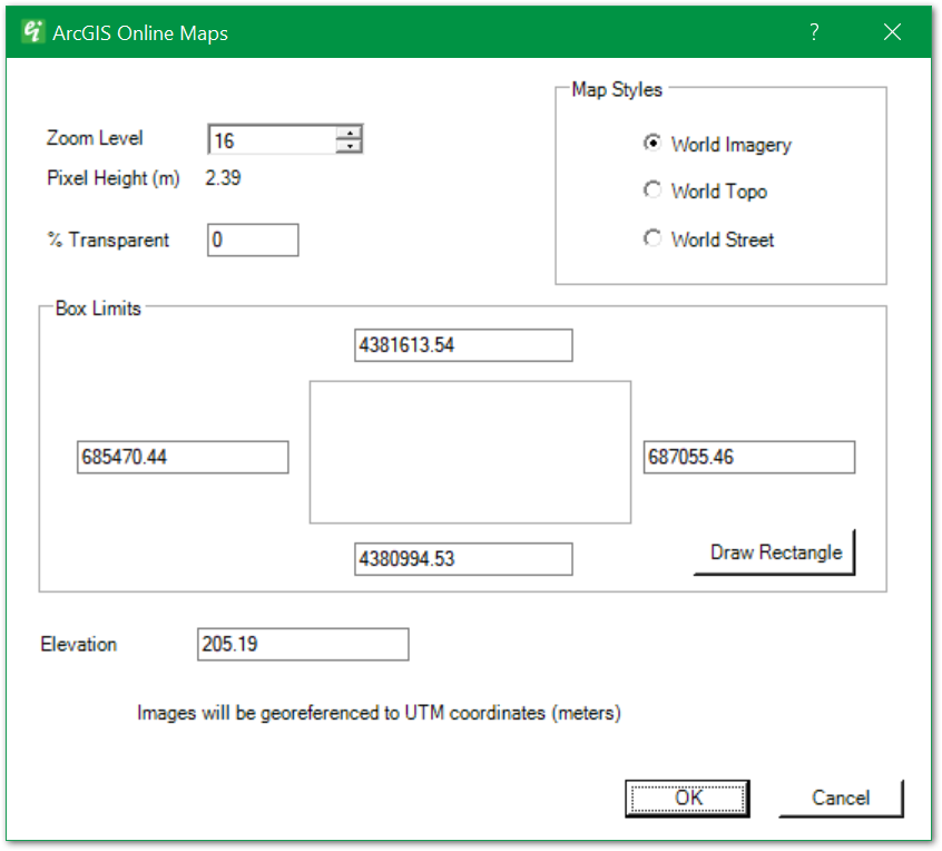
Zoom Level – Determines the pixel size of the delivered image. The pixel size reduces geometrically with increases in zoom level.
% Transparent – Enter the percent transparency.
Map Styles – Select the map style (World Imagery, World Topo, and World Street).
Box Limits – Geographical limits of inserted image. Edit individual east-west or north-south limits, or click on Draw Rectangle.
Draw Rectangle – Click this button to redraw the map limits manually.
Elevation – Enter the map's insert elevation.